Show the sequence.
Document phases, visible conditions and milestones so field updates have a clear visual reference.

CONSTRUCTION DOCUMENTATION INFRASTRUCTURE

Built around the construction record
Turn every site visit into a record your team can use.
JARELT brings field capture, dated progress imagery and organized project documentation into one connected system—so contractors, owners and stakeholders can see the work, follow what changed and review the record with context.
Document the work.Capture site conditions, phases and milestones.
Connect the visits.Give each capture a place in the project timeline.
Keep the team informed.Bring an organized visual record into project conversations.
Construction progress. Reality capture. Visual intelligence.
Keep your project in view, even when you can’t be on site.
Skyline Aerial turns repeatable aerial and ground capture into dated documentation for contractors, owners and project stakeholders.
Based in Winston-Salem, NC · Serving the Southeast

Field experience.
Professional standards.
01 / The visibility gap
Built for the reporting chainA site visit shows you a moment. A consistent visual record shows you what changed.
When the superintendent, owner and lender are looking at different information, every update starts with another question. Skyline gives your team a dated view of the site, captured to a repeatable plan and organized around the work that matters.
Document phases, visible conditions and milestones so field updates have a clear visual reference.
Follow the build across locations and keep a visual archive from early work through close-out.
Bring dated progress imagery into draw reviews, reporting and project conversations.
02 / Proof in the field
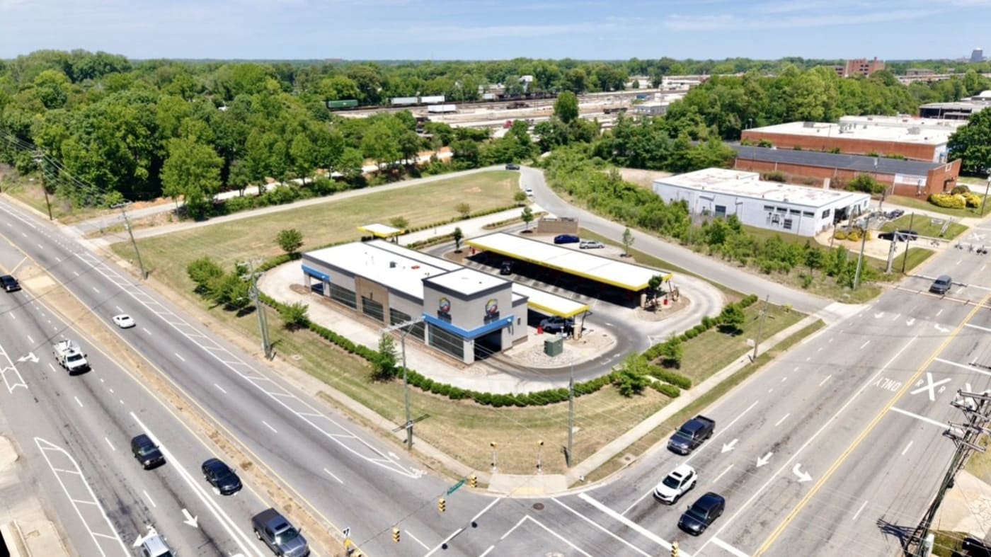
Featured project · Greensboro, NC7 Brew Greensboro · Documentation engagement via Luxos
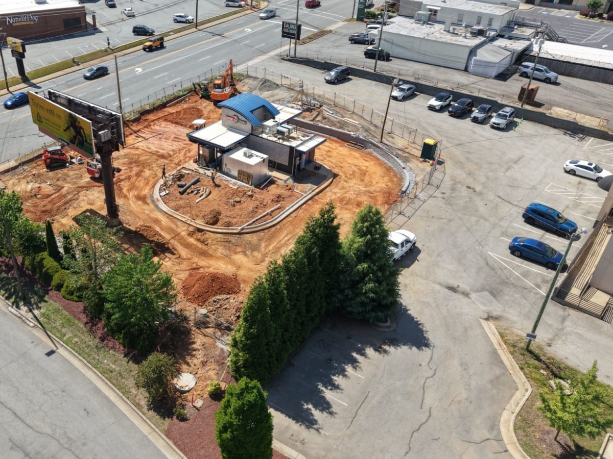
Building shell and active site work.
A dated view of the next phase.
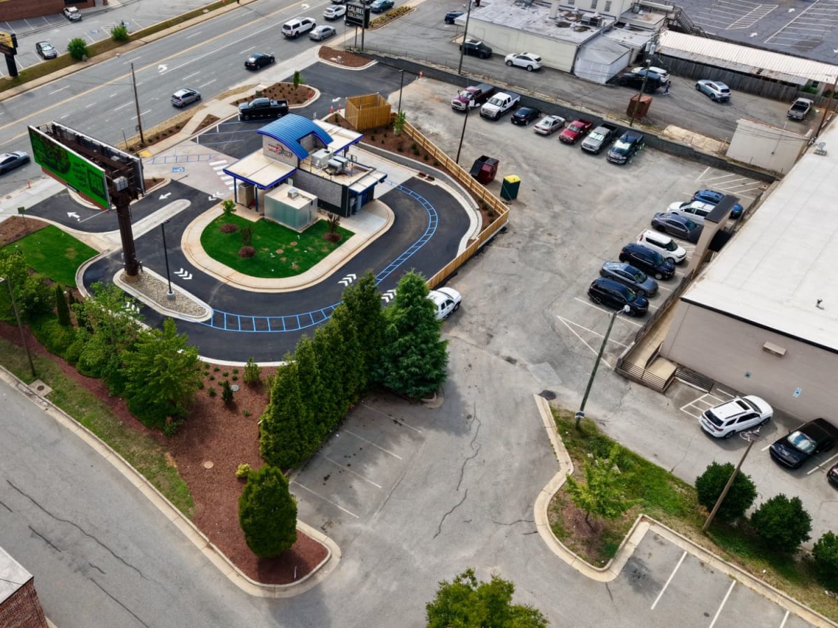
Paving, striping and finish-out.
69 dated frames. Three documented visits. One connected record.
Explore the 7 Brew recordThe complete record also includes early site context and a before-and-after comparison.
03 / The right view for the job
Three connected capabilitiesThe deliverable should answer a project question. We scope the viewpoints, cadence and format around the people who will use the record.
Our core engagement
Recurring aerial and ground capture on an agreed schedule. Repeatable viewpoints make each visit useful alongside the last.
Explore the site in context
Orthomosaics, photogrammetry and interactive panoramas help teams understand a property, facility or community beyond a single photograph.
Camden TownesDrag to look around. Zoom or open full screen.
See hard-to-access assets
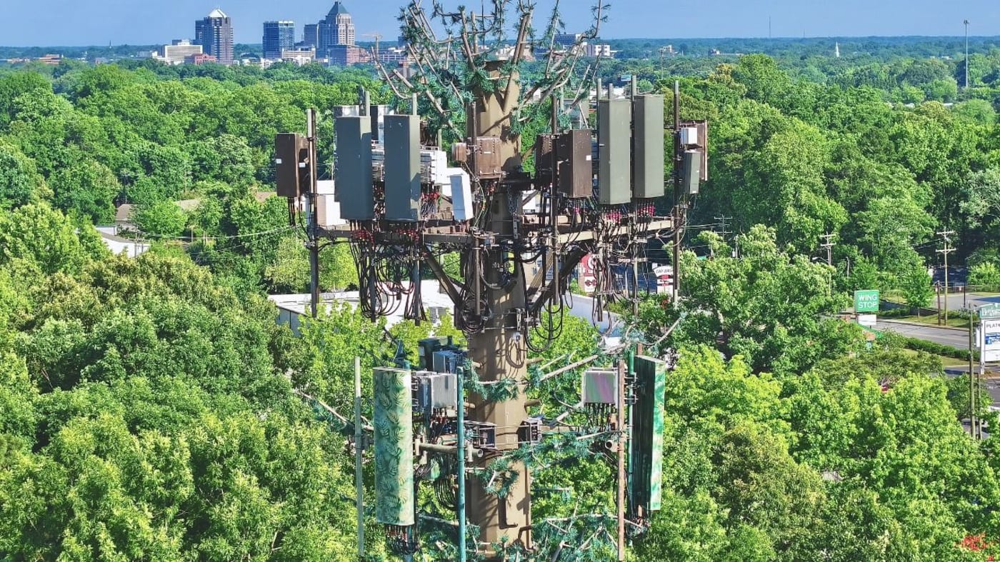
Close visual documentation of towers, structures, facilities and damage conditions, with the scope and access plan defined before capture.
04 / Field experience changes the view
Construction knowledge. Capture discipline.Twenty-plus years in construction management and heavy equipment bring context to every capture.
Site access, active work, sequencing and safe coordination are part of the assignment. Skyline combines that field background with licensed commercial UAS operations, OSHA 10 training and experience supporting the Hurricane Helene response in Lenoir and Morganton.
Review our vendor informationAgree on the phases, viewpoints, recipients and reporting needs.
Plan capture around airspace, access requirements and active work.
Use repeatable flight plans and ground perspectives across visits.
Provide organized, dated imagery and the agreed maps or interactive views.
05 / Ready for your vendor file
Skyline Aerial LLC is a North Carolina company serving NC, SC, VA, TN, GA and FL. Vendor documentation is available for procurement and project onboarding.
Request the vendor packageW-9 · Certificate of insurance · Capability statement
Part 107 certificate · HUB certification
Legal entity: Skyline Aerial LLC
UEI: NXE9J7ABZN95
DUNS: 14-078-0481
Additional NAICS: 541370 · 541990 · 541690
Part 107 certificate: #5241316
What project teams and procurement need to know before getting started.
Yes. Skyline Aerial is FAA Part 107 certified for commercial UAS operations (cert #5241316), carries $1M commercial general liability coverage, and is an NC HUB certified vendor. W-9 and certificate of insurance are available on request for vendor onboarding — typically the same day.
DJI Air 3S with a 1″ sensor, omnidirectional obstacle avoidance, RC2 controller and six batteries for full-day site coverage, plus Insta360 for ground and 360° capture. Missions are planned as KMZ flight paths in WaypointMaps. Processing runs through WebODM for orthomosaics and photogrammetry, with PTGui stitching for panoramas, delivered through Pannellum viewers.
Standard delivery is 48 hours from the flight. Proposals are returned within 24 hours of your request. Rush delivery is available — just say so when we scope the engagement.
OSHA 10 certified, with twenty-plus years working active jobsites before ever picking up a controller. We check in with the superintendent, follow site PPE and access rules, clear airspace in advance, and plan flights around active work rather than through it.
You do. Every engagement includes full usage rights — reporting, marketing, presentations, internal records and claims documentation. Interactive captures come with shareable links and embed codes your team controls.
Based in Winston-Salem and covering the full Piedmont Triad, with regional service across North Carolina, South Carolina, Virginia, Tennessee, Georgia and Florida for multi-site and traveling engagements.
Each capture is delivered as a link and an embed code. Your web team pastes the embed into any page — same as embedding a video — and it works. No plugins, no special hosting on your end.
06 / Put your project in view
Tell us where the site is, what’s being built and who needs the record. We’ll help define the right scope, capture schedule and deliverables.